
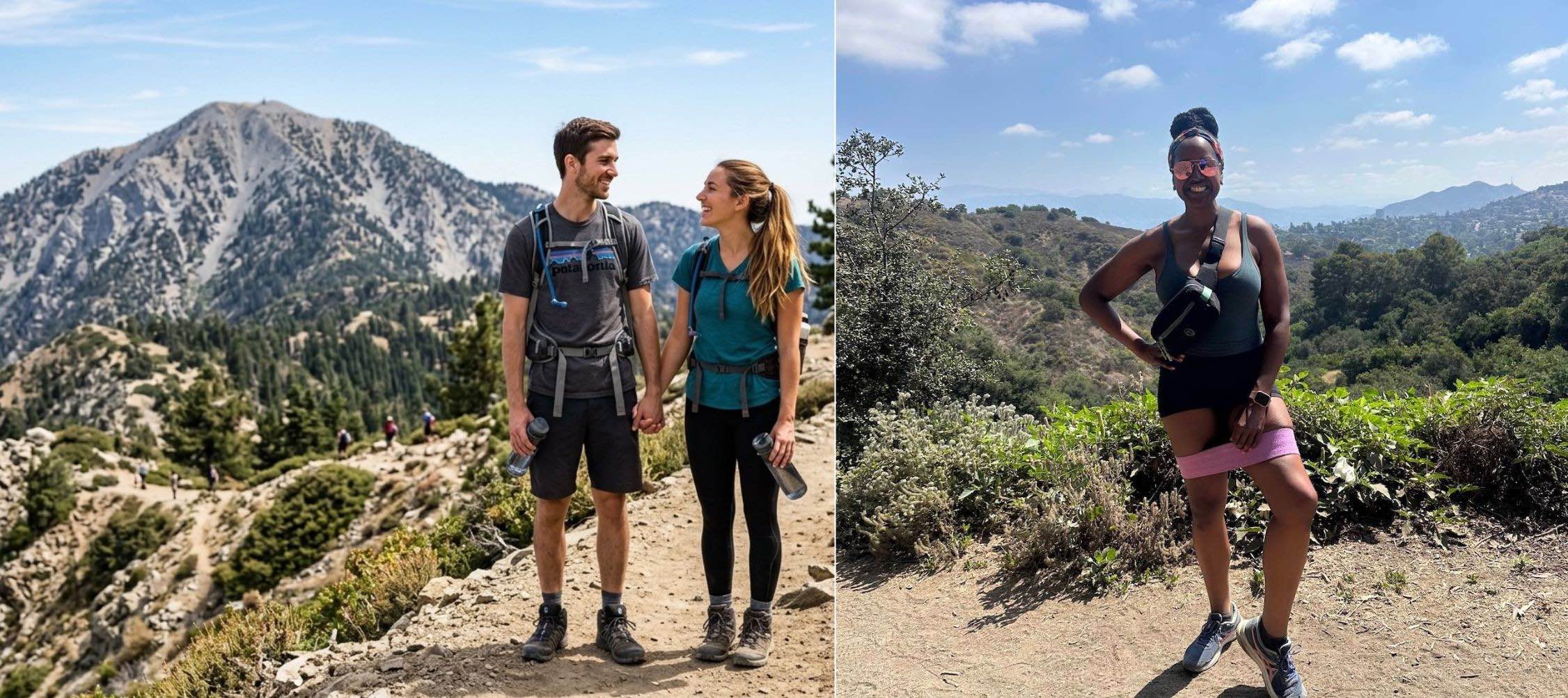
Los Angeles gets a lot of credit for a lot of things — the weather, the food, the entertainment, the culture — but the hiking? That might just be the city’s most underrated superpower. Whether you’re a seasoned trail runner logging serious miles in the San Gabriel Mountains or a total beginner looking for hiking trails near me that won’t require a rescue helicopter, Los Angeles has a trail for you — and it is probably more breathtaking than you’re expecting. From the iconic Hollywood sign views of Griffith Park to the dramatic coastal bluffs of Malibu to the wildflower-lined canyons of Topanga, the greater Los Angeles area is home to some of the most diverse, accessible, and jaw-droppingly gorgeous hiking trails in the entire country. As someone who has personally hiked many of these trails — and who believes deeply that lacing up your hiking shoes and hitting a hiking trail is one of the most powerful wellness tools available to any of us — I put together this definitive guide to the 20 best hiking trails in Los Angeles so you can stop scrolling and start hiking.
ICONIC & BEGINNER-FRIENDLY
1. Runyon Canyon Park (Hollywood) One of the most famous hikes in all of Los Angeles — and for good reason. Runyon offers stunning panoramic views of the Hollywood sign, the Griffith Observatory, and the entire LA basin from multiple vantage points, with trails ranging from easy to moderate. Dog-friendly, people-watching heaven (including celebs), and accessible from Hollywood Boulevard. Difficulty: Easy–Moderate / 3.3 miles
2. Fryman Canyon Park (Studio City) – An understated local favorite in the Valley — offering a quieter, more nature-focused alternative to its bustling neighbor, Runyon. Fryman Canyon features a beautiful, shaded fire road loop that winds through lush Mediterranean foliage, providing gorgeous, sweeping views of the San Fernando Valley and a peaceful escape from the city below. Dog-friendly (on-leash) and family-friendly, it’s the perfect spot for a relaxed morning trek or a jog beneath the trees. Difficulty: Easy / 3.0 miles
3. Griffith Park (Los Feliz)
- Mount Hollywood Trail (Los Feliz) The crown jewel of LA hiking — the Mount Hollywood Trail winds through the iconic Griffith Park to the highest peak in the park, with sweeping 360-degree views of the city, the Hollywood sign, and on clear days, the Pacific Ocean. Difficulty: Moderate / 6.3 miles round trip
- Griffith Observatory to the Hollywood Sign (Los Feliz) One of the most photographed hikes on the planet — starting at Griffith Observatory and winding up to the base of the iconic Hollywood sign. Moderate terrain, incredible views, and the bragging rights of standing next to one of the world’s most recognizable landmarks. Difficulty: Moderate / 6 miles round trip

4. Temescal Gateway Park (Pacific Palisades) A gorgeous Westside gem that takes you from the Pacific Palisades neighborhood into the Santa Monica Mountains, with wildflowers, oak canyons, and stunning ocean views at the top. One of the most scenic and underrated hikes on the Westside. Difficulty: Moderate / 3.8 miles round trip
5. Will Rogers State Historic Park (Pacific Palisades) A beautifully maintained park with multiple trail options ranging from easy strolls to more challenging ridge hikes with spectacular ocean and city views. The Inspiration Point Trail is a fan favorite for its sweeping panoramic payoff. Difficulty: Easy–Moderate / 2 miles to Inspiration Point
COASTAL & WESTSIDE HIKES

6. Topanga State Park — Eagle Rock Loop (Topanga) One of the most rewarding hikes in the Santa Monica Mountains — the Eagle Rock Loop winds through chaparral and oak woodland to the massive Eagle Rock formation, with sweeping views of the Pacific Ocean and the Topanga Canyon. Difficulty: Moderate / 7 miles round trip
7. Solstice Canyon (Malibu) A hidden Malibu gem that most Angelenos don’t know exists — Solstice Canyon Trail winds through a shaded creek canyon to the ruins of the Roberts Ranch House, a hauntingly beautiful burned-out estate surrounded by lush tropical plants that survived the fire. Difficulty: Easy / 2.7 miles round trip
8. Point Dume State Beach & Preserve (Malibu) A short but spectacular coastal hike that takes you from the beach up to the dramatic bluffs of Point Dume, with sweeping views of the Pacific Ocean, Santa Monica Bay, and (in season) migrating gray whales. Difficulty: Easy / 2 miles round trip
9. Sandstone Peak (Malibu) The highest peak in the Santa Monica Mountains — and one of the most rewarding summit hikes in all of Los Angeles. The trail winds through dramatic volcanic rock formations to a summit with arguably the best 360-degree view in the entire Santa Monica Mountains range. Difficulty: Moderate–Strenuous / 5.6 miles round trip
10. Leo Carrillo State Park (Malibu) A gorgeous multi-use trail system through chaparral and coastal sage scrub with ocean views, hidden sea caves, and the kind of dramatic Malibu coastline scenery that makes you remember exactly why you live in Southern California. Difficulty: Easy–Moderate / varies
SAN GABRIEL MOUNTAINS & BEYOND
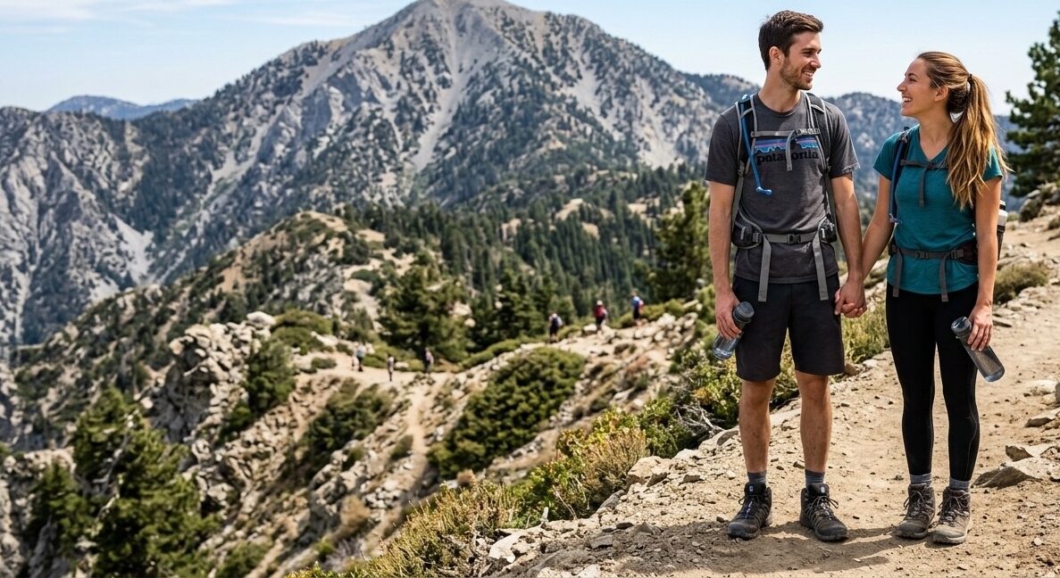
11. Mount Baldy (San Gabriel Mountains) The crown jewel of LA-adjacent hiking — Mount San Antonio (Mount Baldy) is the highest peak in the San Gabriel Mountains at 10,064 feet, offering an epic full-day adventure with stunning views of the entire LA basin, the desert, and on crystal-clear days, all the way to the Pacific. Difficulty: Strenuous / 9 miles round trip
12. Eaton Canyon Falls (Pasadena/Altadena – closed thru 2027 due to the fires) One of the most beloved waterfall hikes in the San Gabriel Mountains — Eaton Canyon Trail leads to a stunning 50-foot waterfall through a rocky canyon that feels worlds away from the suburban neighborhoods surrounding it. Difficulty: Easy–Moderate / 3.8 miles round trip
13. Mount Wilson (San Gabriel Mountains) A challenging and incredibly rewarding hike through dense forest to the summit of Mount Wilson, home to the historic Mount Wilson Observatory and jaw-dropping views of the entire LA basin spread out below you. Difficulty: Strenuous / 14 miles round trip via Chantry Flat
14. Henniger Flats (Altadena – closed thru 2027 due to the fires) A steady uphill hike through the Angeles National Forest to the Henniger Flats campground and lookout, with beautiful views of the Pasadena and San Gabriel Valley areas and a rewarding sense of accomplishment at the top. Difficulty: Moderate / 5 miles round trip
15. Sturtevant Falls (Sierra Madre) One of the most beautiful and accessible waterfall hikes in the San Gabriel Mountains — Sturtevant Falls Trail winds through a gorgeous oak and alder canyon to a stunning 60-foot waterfall that is especially spectacular after winter rains. Difficulty: Moderate / 3.6 miles round trip
HIDDEN GEMS & LOCAL FAVORITES
16. Debs Park — Audubon Center (Highland Park) A true hidden gem in Northeast LA — Debs Park is a beautifully maintained urban nature park with multiple trail loops through native chaparral, oak woodland, and native plant gardens, with views of the downtown LA skyline. Difficulty: Easy / 1–3 miles depending on route
17. Elysian Park (Echo Park/Downtown Adjacent) LA’s oldest park and one of its most underrated hiking destinations — Elysian Park has miles of trails winding through chaparral and native plantings with gorgeous views of the downtown skyline, Dodger Stadium, and the San Gabriel Mountains. Difficulty: Easy–Moderate / varies
18. Baldwin Hills Scenic Overlook (Culver City) The ultimate Westside urban hike — a short but steep staircase hike up to a stunning 360-degree panoramic view of the entire LA basin, from the ocean to the mountains to downtown. One of the best bang-for-your-buck views in all of Los Angeles. Difficulty: Moderate / 1 mile round trip
19. Kenneth Hahn State Recreation Area (Baldwin Hills) A beautifully maintained urban park with multiple trail loops through native gardens, a fishing lake, and open meadows — with sweeping views of the LA skyline and the Hollywood sign in the distance. Dog-friendly and completely underrated. Difficulty: Easy / 1–4 miles depending on route
20. Vasquez Rocks Natural Area (Agua Dulce — 40 miles from LA) Worth every minute of the drive — the dramatic, tilted sandstone formations of Vasquez Rocks (recognizable from countless movies and TV shows, including Star Trek) offer a truly spectacular and otherworldly hiking experience unlike anything else in the greater LA area. Difficulty: Easy–Moderate / 2.2 miles round trip
QUICK REFERENCE BY DIFFICULTY
Easy: Fryman Canyon, Point Dume, Solstice Canyon, Debs Park, Elysian Park, Kenneth Hahn, Baldwin Hills Scenic Overlook
Moderate: Runyon Canyon, Temescal Gateway, Will Rogers, Eaton Canyon, Sturtevant Falls, Vasquez Rocks, Griffith (2), Henniger Flats
Strenuous: Mount Baldy, Mount Wilson, Sandstone Peak, Topanga Eagle Rock Loop
HIKING ESSENTIALS BEFORE YOU HIT THE TRAIL
- ✅ Plenty of water (at least 2 liters)
- ✅ Sunscreen and a hat
- ✅ Comfortable, supportive hiking shoes
- ✅ Snacks/fuel for longer hikes
- ✅ AllTrails app downloaded for offline maps
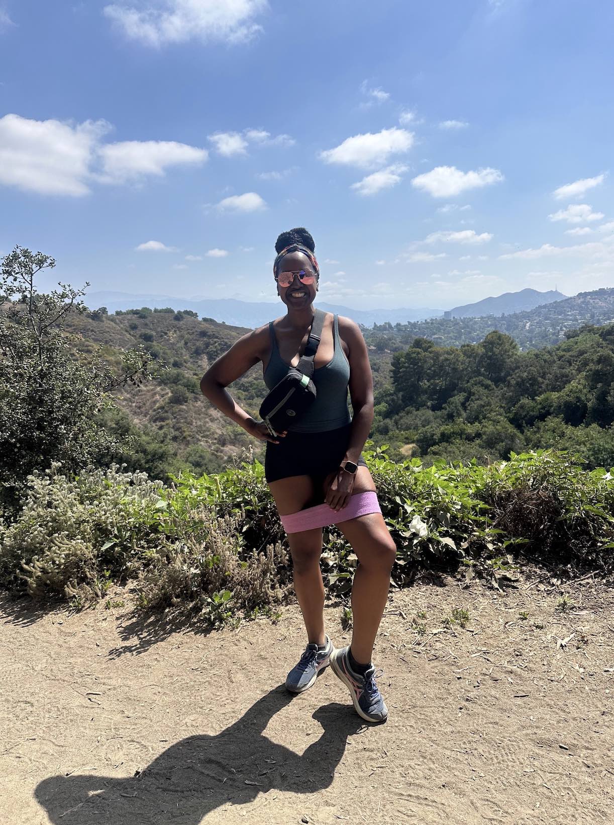
- ✅ Resistance bands for a workout upgrade on the trail
This article contains affiliate links. As an Amazon Associate, I earn from qualifying purchases.